Performed utility data collection for Central New Mexico Community College as part of a collaboration between the Geographic Information Technology program and the college’s Sustainability department.
Project highlights
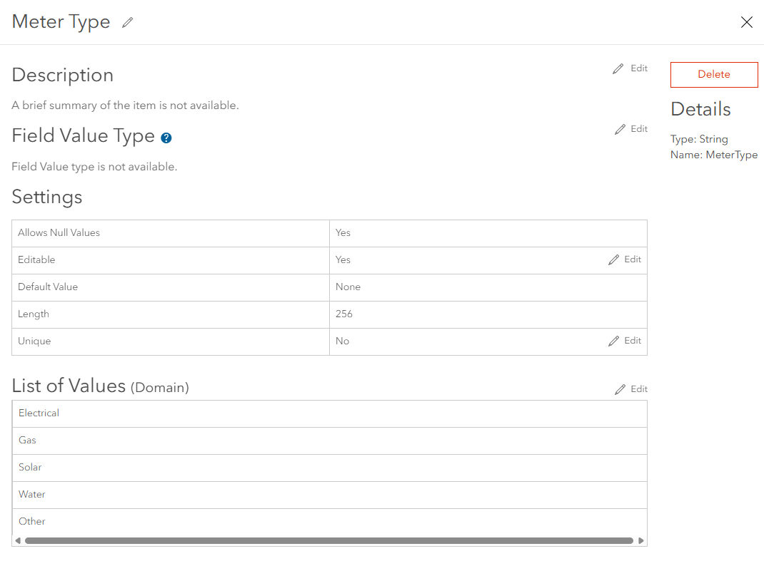
- Developed data model for the feature service in ArcGIS Online, including setting up coded domains to ensure accurate data collection.
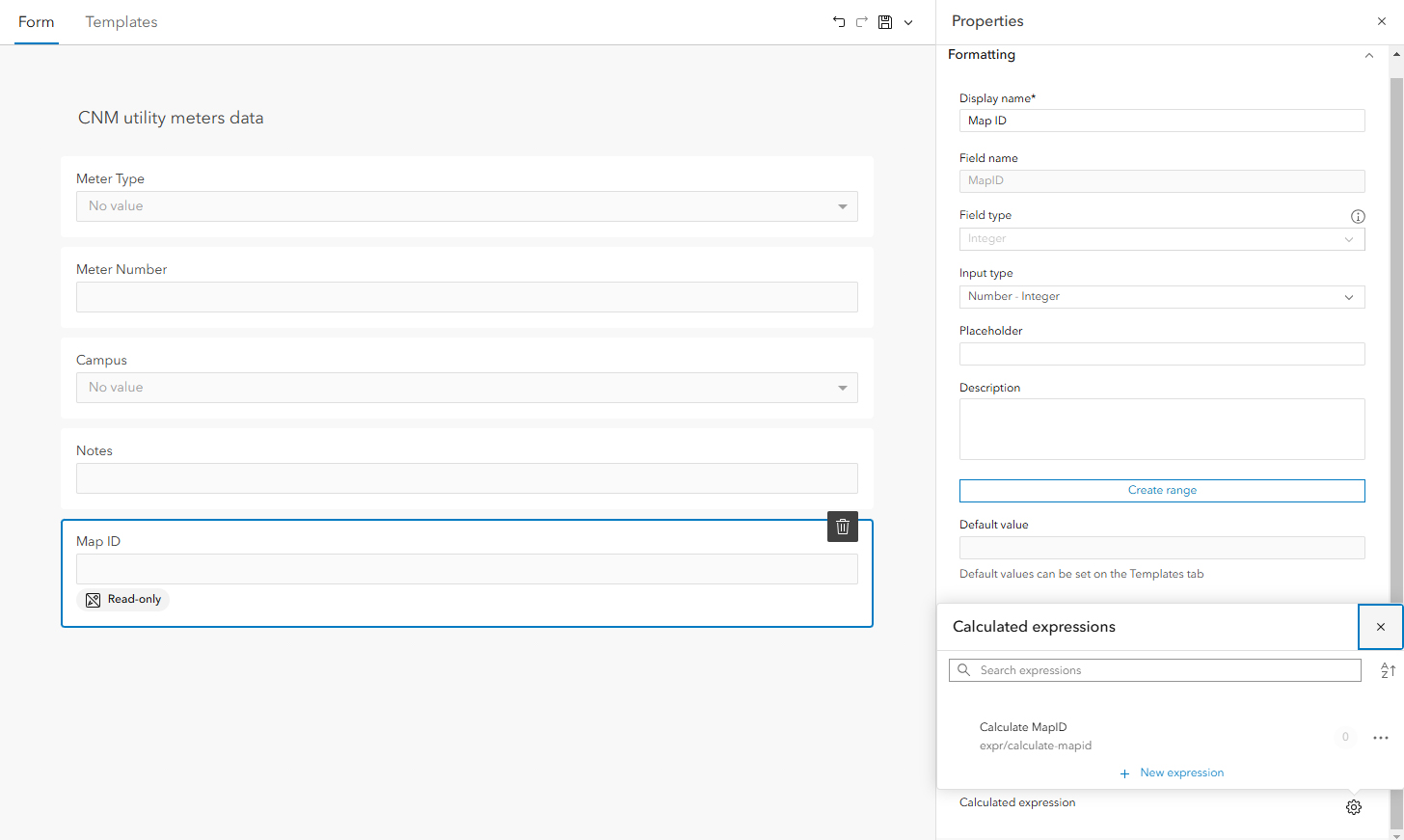
- Collected coordinates and attributes using ArcGIS Field Maps.
- Wrote an Arcade expression to automatically populate sequential numbering for MapID field in Field Maps data collection form.
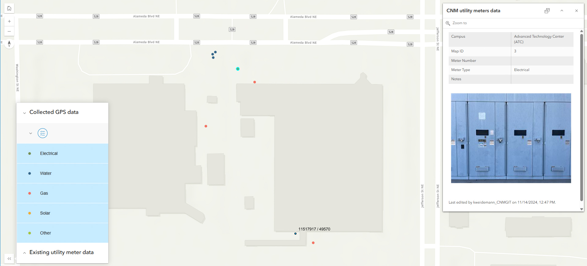
- Integrated collected data into Instant App.
Instant app

Scripting
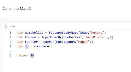
Wrote an Arcade expression to automatically populate sequential numbering for MapID field in Field Maps data collection form.


var numberlist = FeatureSetByName($map,"Meters")
var topnum = Top(OrderBy(numberlist,'MapID DESC'),1)
var counter = Number(Max(topnum,'MapID'))
var id = counter+1

return id
Coded domains
Set up coded domains to ensure accurate data collection.
