Exploration of elevation, vegetation, and geology of Crater Lake in southern Oregon.
Project highlights
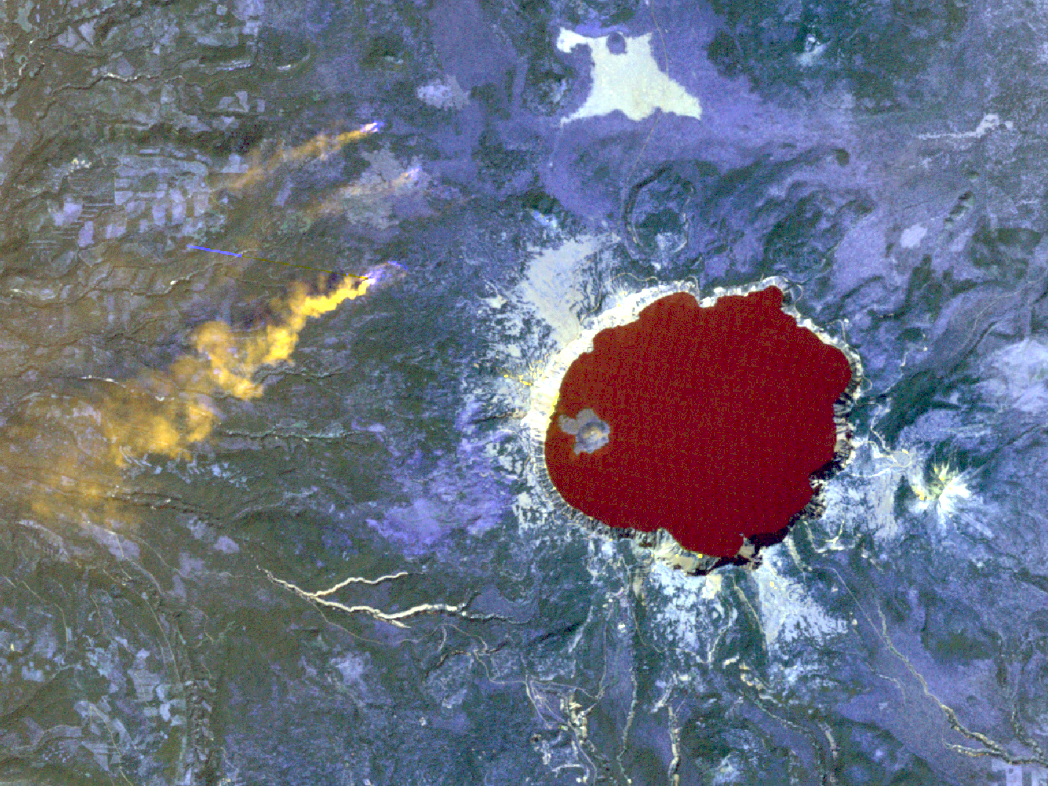
- Modified Landsat raster bands to identify smoke from nearby fires.
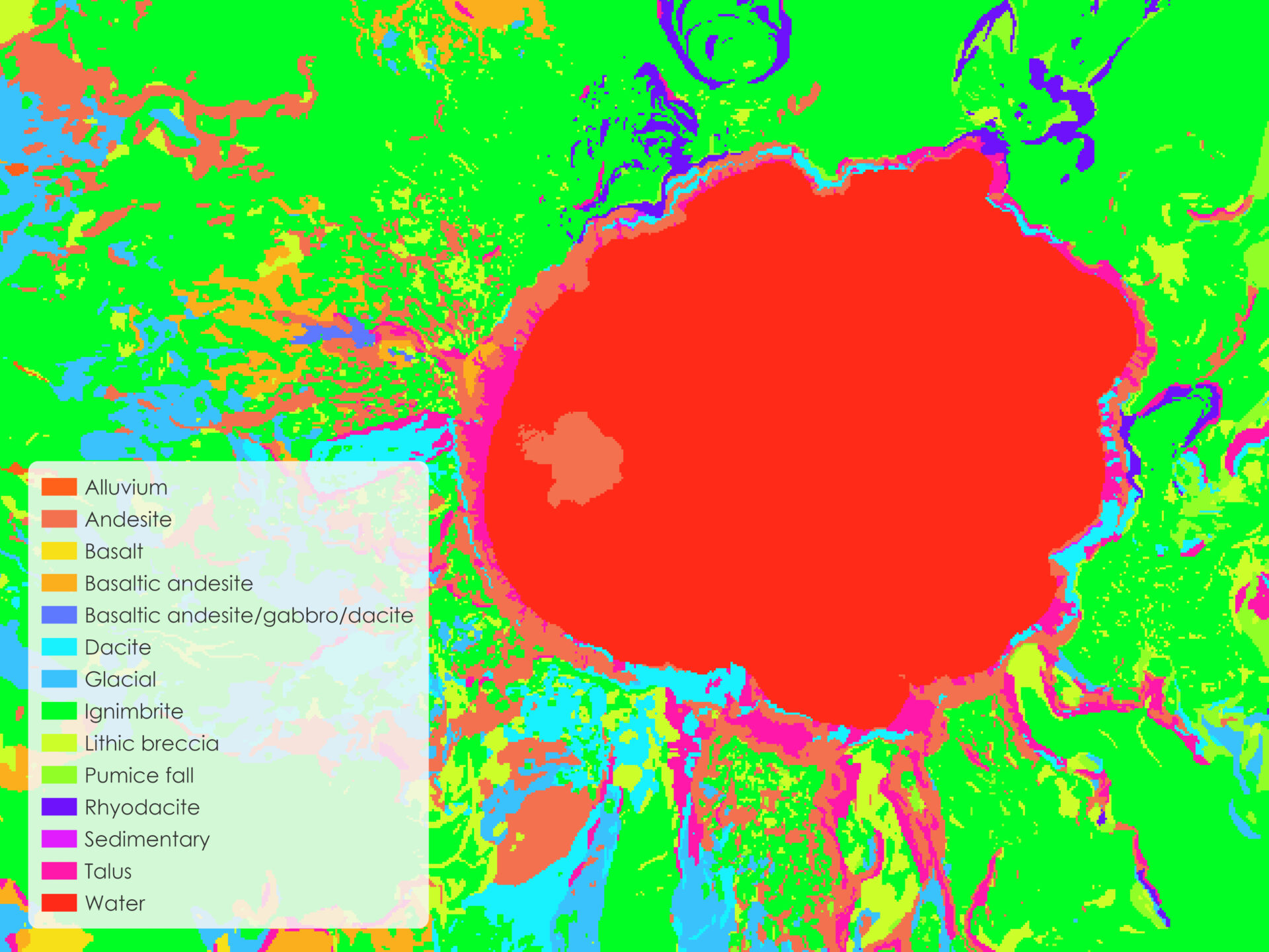
- Converted geology polygons to raster to symbolize rock types.
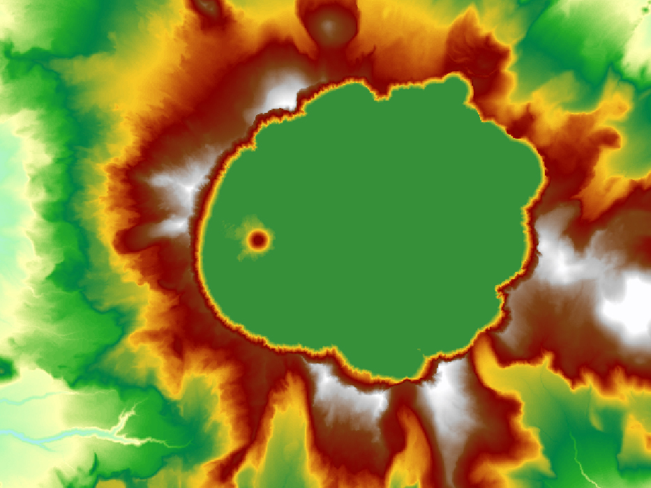
- Downloaded, stitched together, and symbolized DEM tiles from The National Map (USGS).
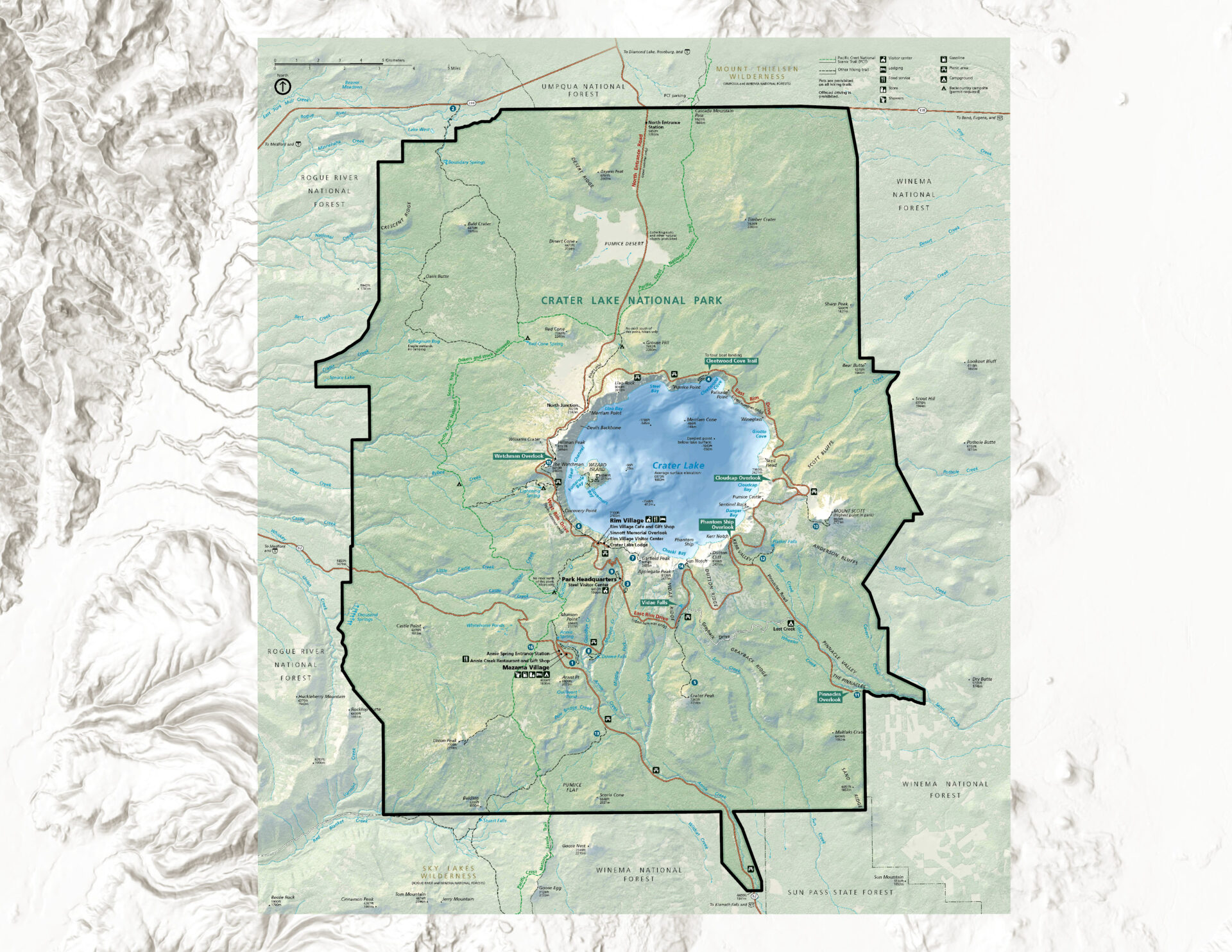
- Georeferenced a raster image of the National Park Service visitor map of Crater Lake National Park.
Landsat scene
Clipped Landsat 5 scene showing Crater Lake and the surrounding area, downloaded from the USGS Earth Explorer site.
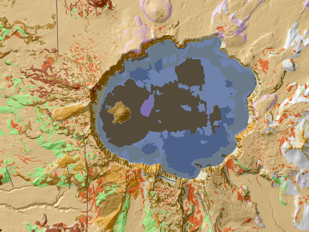
Geology
Visualization of geology and rock types in and around Crater Lake.
Digital Elevation Model (DEM)
DEM tiles from The National Map (USGS), stitched and symbolized with a multipart color scheme.
Georeferenced raster of visitor map
Raster image of the National Park Service visitor map for Crater Lake National Park in Oregon.
