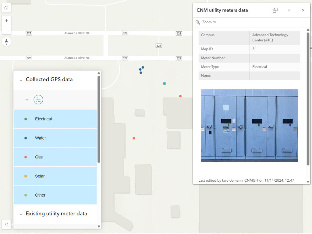
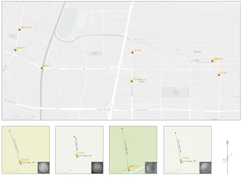
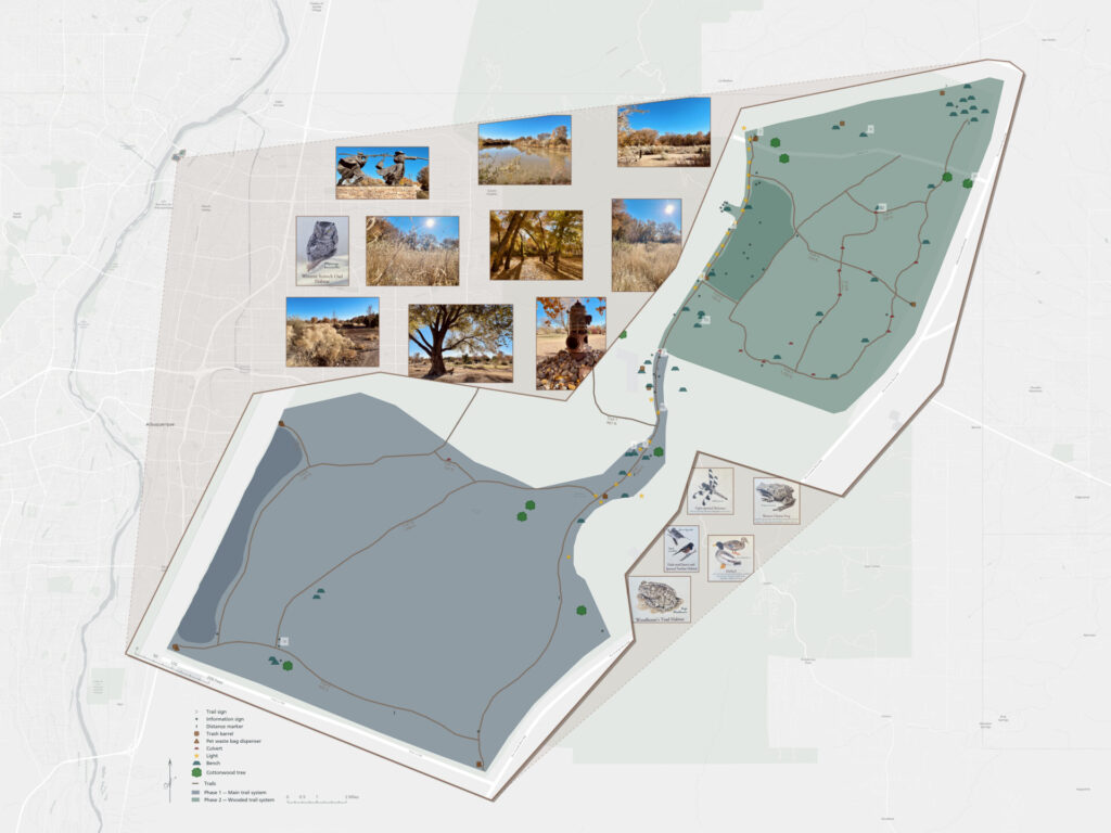
Collect, update, and verify spatial data in real-world environments using mobile devices, GPS, and remote sensing tools. Field operations support accurate mapping, asset management, and timely decision-making in areas such as environmental monitoring, urban planning, and disaster response.


