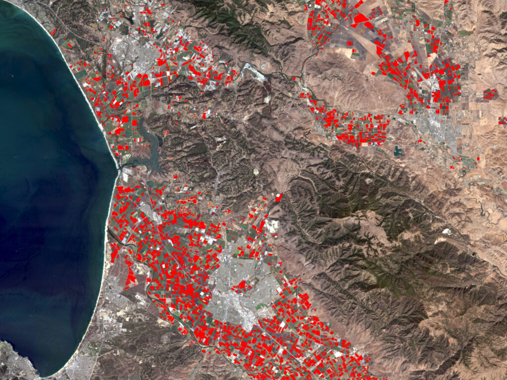
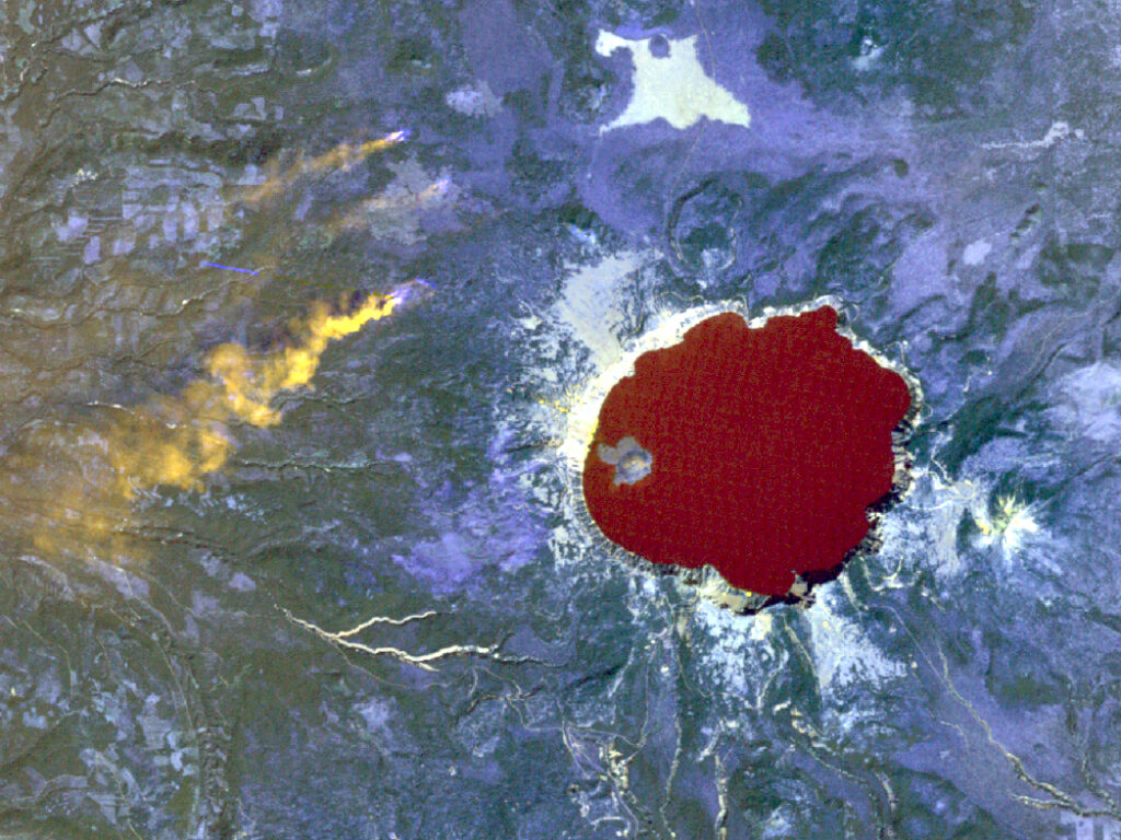
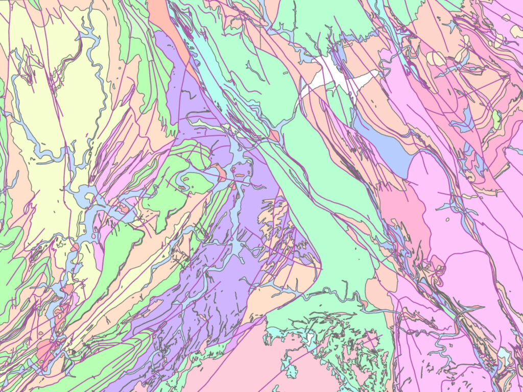
Collect and analyze data about the Earth’s surface using satellites, drones, or aircraft without direct physical contact. Image and remote sensing enables the monitoring of environmental changes, land use, and natural resources through technologies like multispectral imaging and LiDAR.


