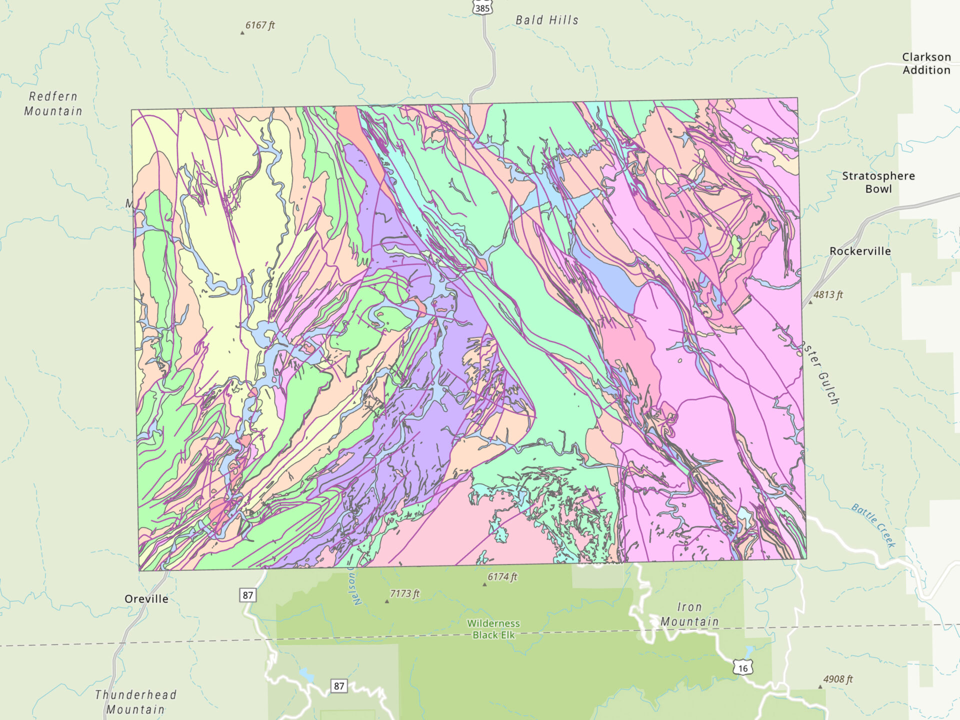
Geologic rock units of the Hill City and Mount Rushmore 1:24,000 quadrangles in South Dakota.
Project highlights
- Compiled and converted data to a suitable coordinate system (NAD 1983 UTM Zone 13N) using the Project geoprocessing tool.
- Investigated and defined projection for layer with unknown coordinate system.
- Used the Dissolve geoprocessing tool to remove the vertical line separating the two quadrangle polygons along the merged edge.
Study quads
